University of Florence
Research
Large research university actively engaged in international, interdisciplinary research. Its Department of Architecture is a leading centre with extensive experience in complex survey activities using terrestrial laser scanning, photogrammetry and other tools across diverse urban and climatic contexts. The department has refined workflows for 3D surveys of green areas and urban environments, creating detailed 3D databases on morphology and green systems, and developing interactive digital environments for dissemination. It operates numerous specialised labs such as DARWIN, which are highly relevant to representation, visualisation and digitisation of architecture and landscape.

Florence Municipality
Municipality
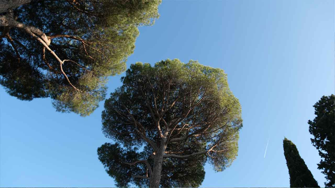
Manages an extensive urban tree heritage facing significant climate-related challenges such as urban heat islands and extreme weather events. The city is committed to developing deeper knowledge of urban green systems and innovative greenery planning solutions, especially in historic central areas where space is limited. The municipality pursues systematic management of its green areas through digital tools and platforms. Florence Municipality supports analysis of greenery management models, provides data for strategic sample areas, advises survey and modelling tasks and contributes to situational analysis, digital platform development and dissemination.

Metaheritage Srl
Company
Digital design studio specialising in “Virtual Heritage”, promoting and disseminating cultural heritage through new technologies. Its multidisciplinary team is skilled in photogrammetric documentation, 3D model reproduction and dynamic virtual scenario creation, using advanced tools such as drones, underwater drones and body scanners. The company has worked on numerous virtual reconstructions and is active in research and innovation projects that combine digital dissemination with participation. They contribute to addressing the complex interactions between urban greenery, spatial conditions and historical heritage.